Eisan Remotely Piloted Aircraft Systems
As a data acquisition company, we can capture the data you need. No matter your industry, operational changes need to move forward with technological advances, and drone piloting is one such advancement that is becoming more prevalent. Not only do remote aerial systems ensure accuracy, enhance operational safety, and offer new perspectives on data analyses, but they also allow for more refined and efficient workflows in going where we could not, just a decade ago.
Why Choose Us
- certified advance drone Pilot
- Fully insured
- Transport Canada compliment
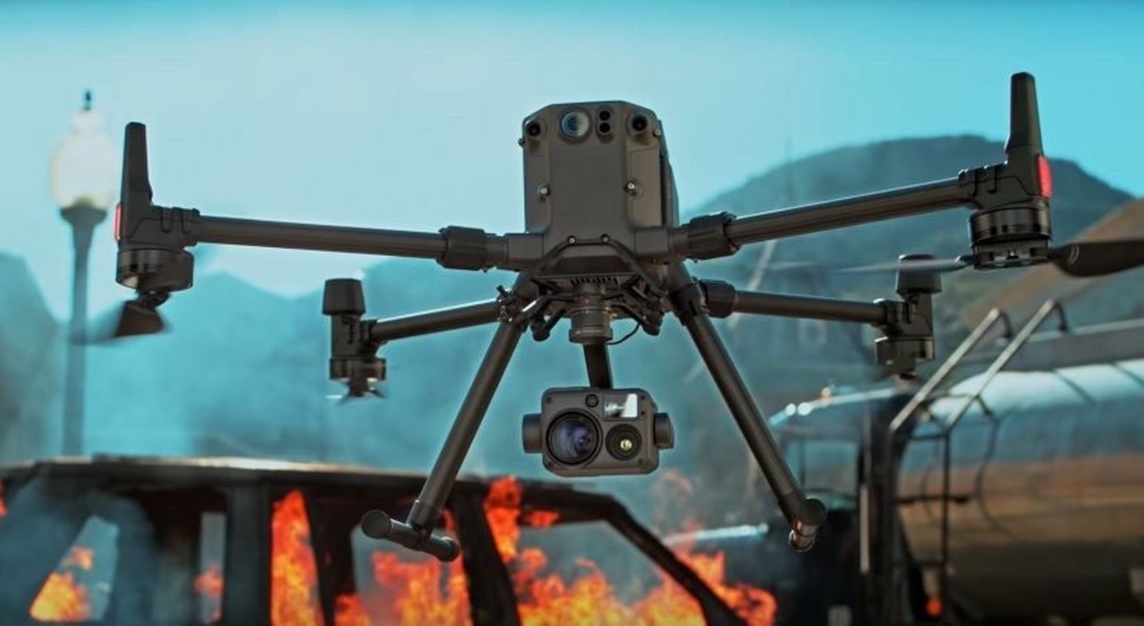
Eisan Remotely Piloted Aircraft Systems brings this cutting-edge technology to your industry. Pairing our DJI M300 RTK with a DJI DRTK2 Mobile GNNS station, aerial expertise and the industries most advanced full frame photogrammetry lens DJI Zenmuse P1, we can offer industry leading accuracy. If multi spectral data is required, we can add the DJI Zenmuse H20T.
By using Pix 4D analysis, images acquired are sharp, accurate, and defined to give you the reliable solutions that you need for mobile and drone mapping.
Utilize the latest in aerial devices with Eisan Remotely Piloted Aircraft Systems to ensure the highest level of accuracy in your survey data, inspect large areas effectively, and find technical issues with your systems that may otherwise go unnoticed.
Applications We Provide
- Visual Data Acquisition for Inspections
- Photogrammetry
- Visual data acquisition for solar farms, wind turbines, agricultural settings, and construction sites
- 2D models
- Search and Rescue
- Security and Surveillance